IPAC
October 26, 2023
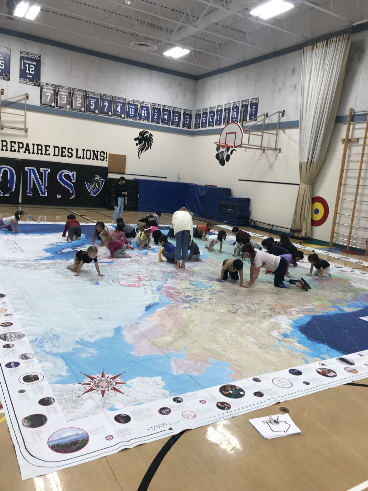
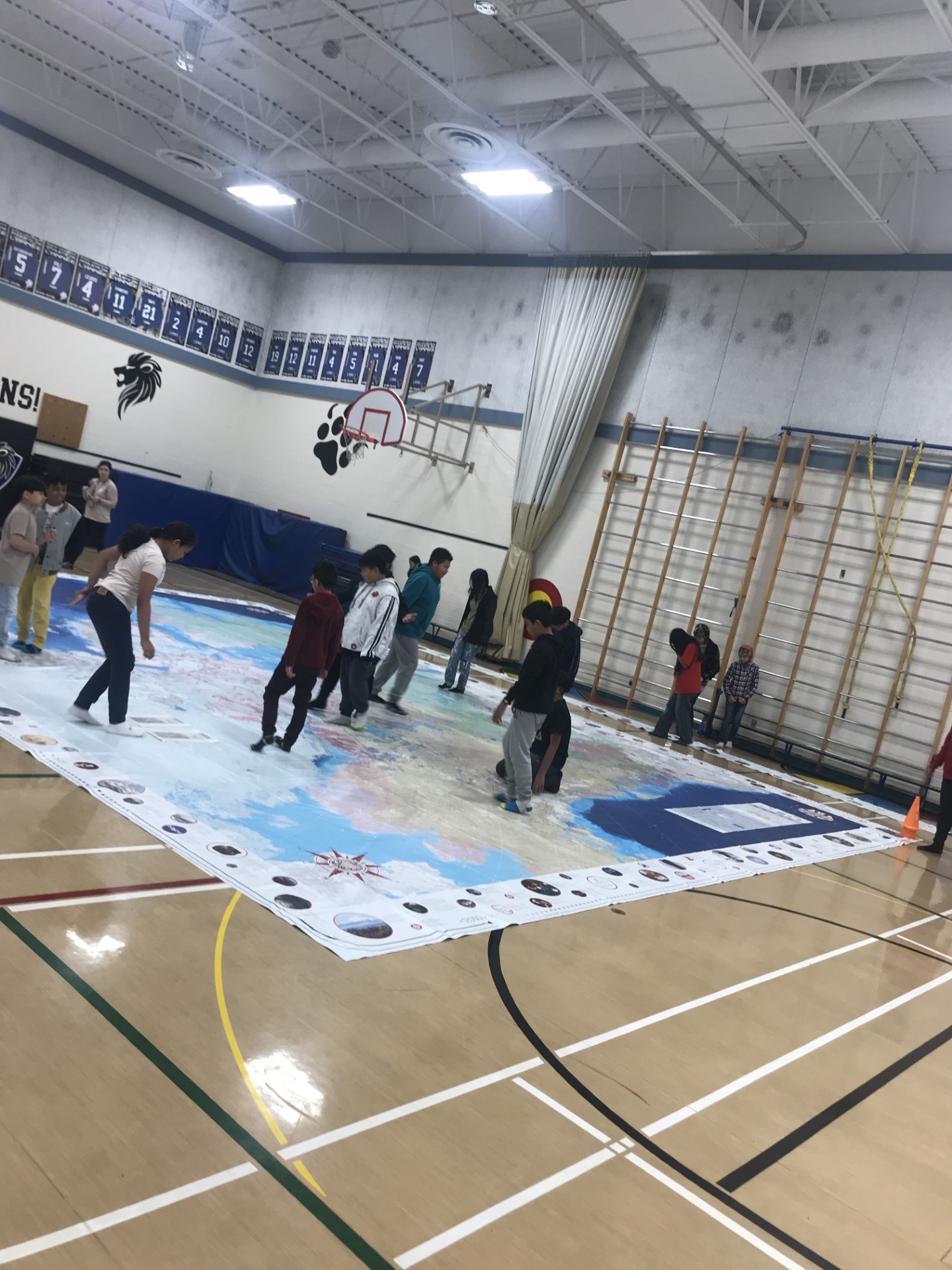
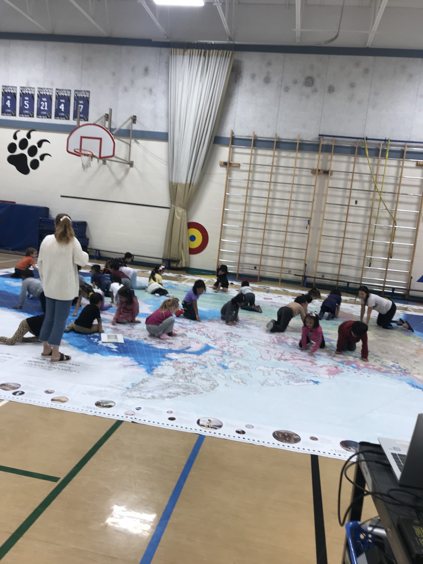
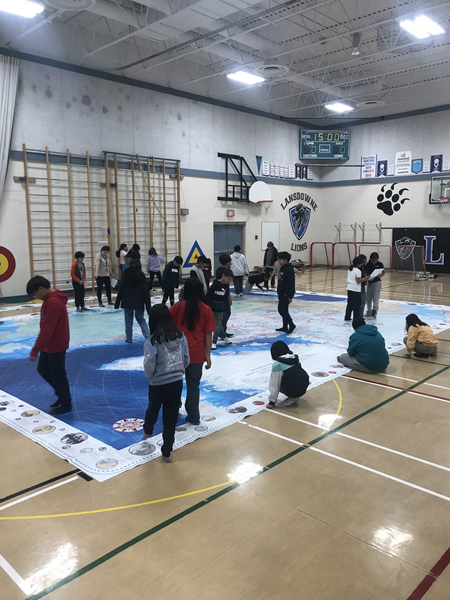
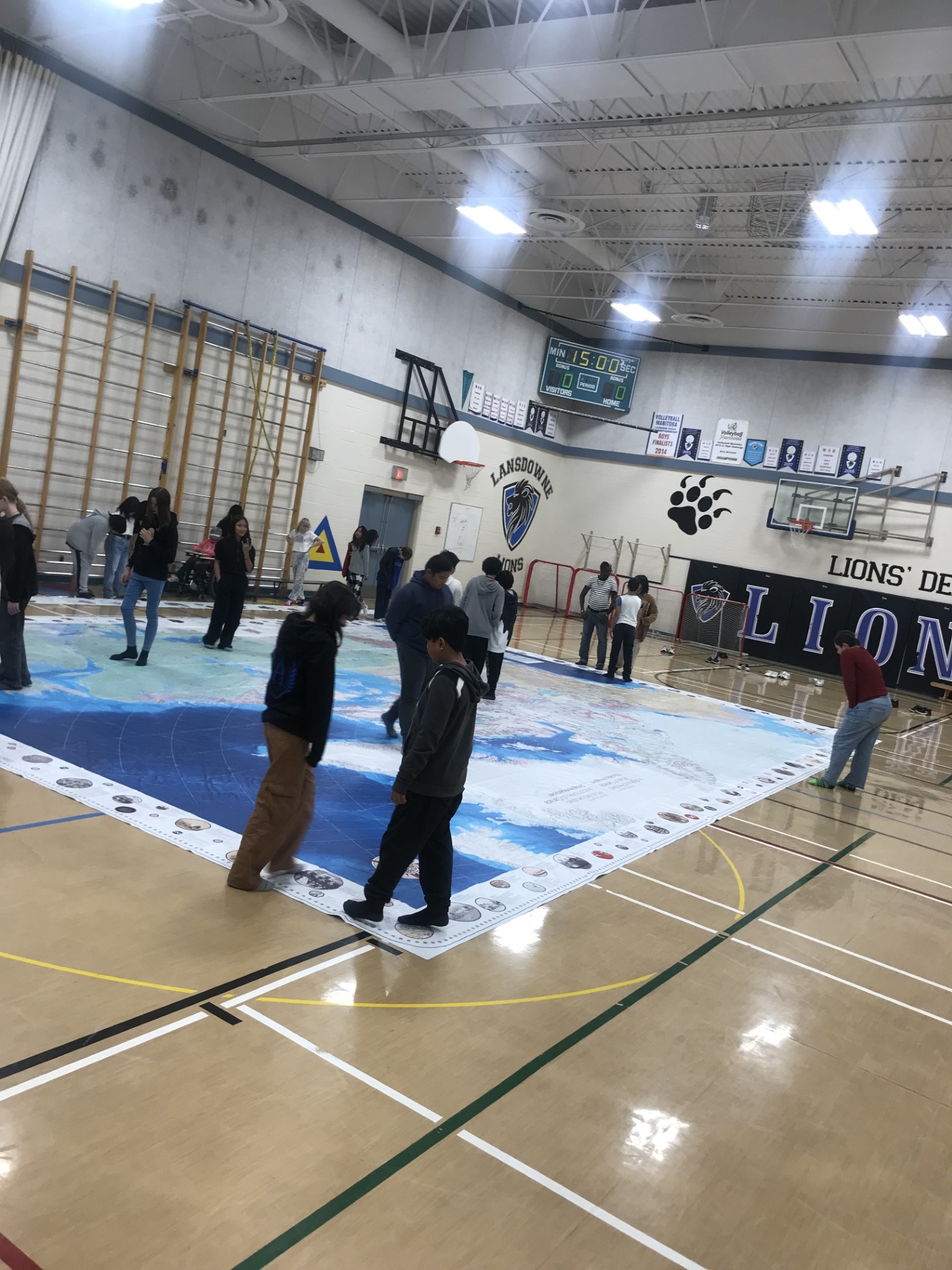
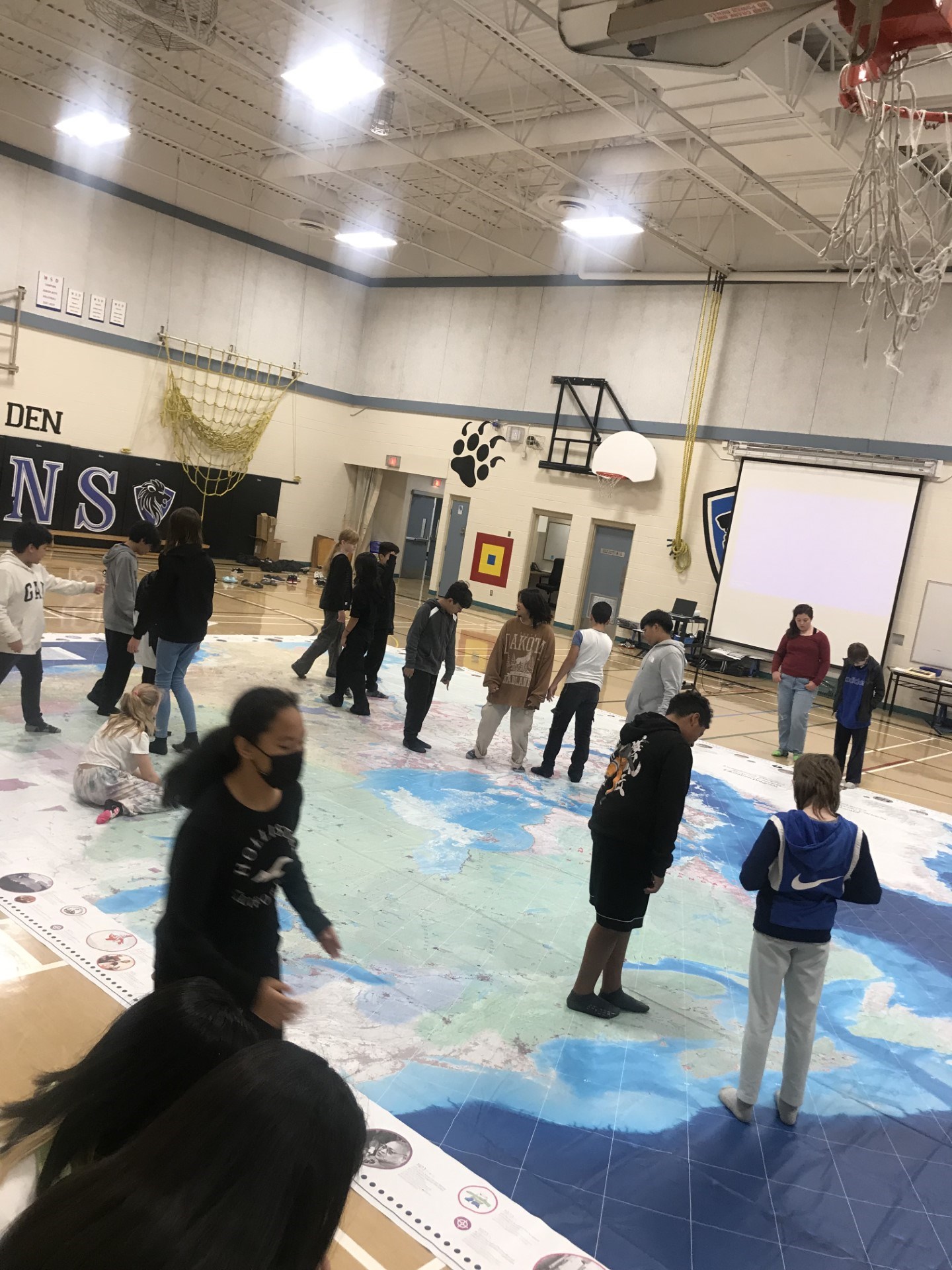
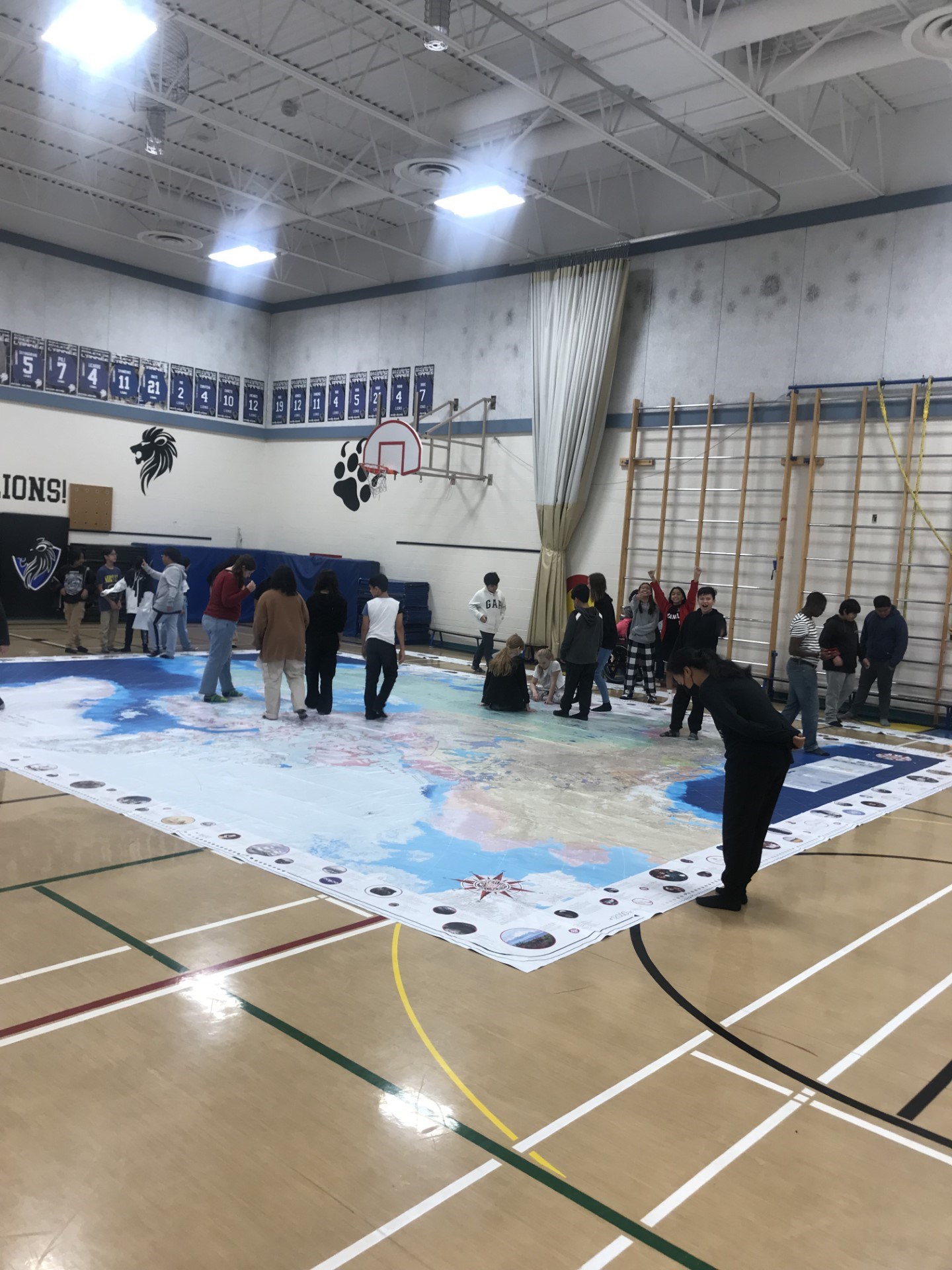
This September we were fortunate enough to have the Indigenous Peoples Atlas of Canada (IPAC) giant floor map for use in our gymnasium. This map measures 8.5 by 11 metres in size, and depicts Indigenous communities, residential schools, and reserves across the land known to settlers as Canada. Having this map in the weeks leading up to Orange Shirt Day was an excellent way for all grades to explore residential schools, reconciliation, and Indigenous culture. Students were led in scavenger hunts and story-telling activities on the map in order to physically connect with the history of this land and its First Peoples. The IPAC giant floor map proved an impactful learning tool, informing and invigorating Lansdowne students to work towards a society where human rights and reconciliation come first. See pictures below.